|
Customer Service Menu |
| Home | Login |
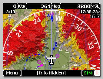
MountainScope : Designed for Enhanced Situational Awareness
MountainScope was designed from the outset by an instrument-rated pilot,
who was looking for specific things: |
 |
| Page last changed May 28 2025 21:33:06.Send comments about this page -- (c) 2026 by PCAvionics. All rights reserved. Privacy Policy |